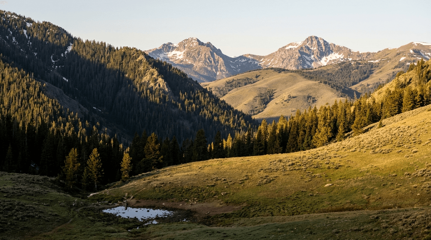
A single elk unit in Colorado, Wyoming, or Idaho can run 100,000 acres of public ground, sometimes more. Four scouting days won't cover a tenth of that on foot. They don't have to. Most of a unit can be ruled out from the kitchen table weeks before the truck leaves the driveway, if you treat the map work as its own discipline instead of an evening spent idly dragging satellite tiles around.
E-scouting is a filter, not a substitute for ground work. The goal is not to drop a pin and expect a bull to be standing under it in September. The goal is to walk into a new drainage already knowing where the water sits, which timber holds shade past mid-morning, and which glassing knobs every other hunter in the unit has already found. Here's how to work the tools instead of just staring at them.
Confirm access before you fall for the terrain
Start with the least exciting layer: land ownership and travel management. Overlay public and private boundaries on whatever mapping app you run, then pull the travel management plan for the specific forest or BLM district you're eyeing. Roads that show open on an old base map get gated or seasonally closed all the time, and a route that's driveable in August can be walk-in only by rifle season.
This takes ten minutes. Skipping it is how hunters build an entire plan around a basin they can't legally reach during the dates they hold a tag for. Do it first, before the terrain has a chance to talk you into anything.
Let water make the first cut
In most western units, water is the tightest bottleneck elk face from midsummer into September. On satellite imagery, hunt the color shift. Dark green giving way to a lighter, almost lime green usually means moisture in the vegetation, and it flags the springs, seeps, and stock tanks that never show up as blue lines on a standard topo.
Then cross-reference every green patch against the contour lines underneath it. A seep in a flat pocket, ringed by tight contours, with dark timber close by: pin it. A seep out in the open with no cover within a few hundred yards usually isn't worth one. Elk will drink there, but they won't bed anywhere near it, and bedding is what you're really mapping.
Read contour lines for bedding, not just elevation
Topo lines say more about where elk sleep than most hunters give them credit for. Two shapes are worth learning to spot at a glance:
- Benches. Tightly packed contours that suddenly spread apart on an otherwise steep slope. That spreading is a shelf, and on a north- or east-facing aspect with timber on it, a shelf is textbook midday bedding.
- Saddles. Two U-shaped contours with their open ends facing each other, sitting in the low spot between peaks or ridge points. Saddles funnel travel between drainages, which makes them natural pinch points — for a summer camera, and for a sit later in the season.
North- and east-facing dark timber holds elk through the heat of the day because it keeps its shade longest. When a bench or a saddle sits on one of those aspects and connects to a water source you've already flagged, you're looking at a real candidate, not a guess.
Zoom all the way in for wallows
Wallows read as small, dark, muddy smudges on satellite imagery, usually tucked into the bottom of a draw or right beside a spring. They're easy to scroll past at normal zoom and easy to find once you're looking for mud instead of water.
During archery season, a wallow a bull is actively using can justify a full midday sit. Bulls come in to roll and re-scent through the hottest hours, exactly when glassing everywhere else has gone dead. Flag every candidate you find near a bedding area, including the ones you doubt. On the ground, most take about thirty seconds to rule out.
Use pressure as the tiebreaker
A gorgeous basin an hour from a paved trailhead gets hunted hard, no matter what the imagery says about it. Most mapping apps now carry some version of a usage or pressure layer, and busy country lights up. Treat that as a tiebreaker between spots that otherwise grade out the same.
A rough baseline that pays off: look for places where good water, bedding cover, and feed all sit more than a mile from the nearest motorized road or trailhead, then notice how few of them there are. That single mile knocks out a surprising share of the pressure without asking you to plan a five-mile pack-in on your first trip to a unit you've never seen.
Confirm with glass before you commit boots
Once the shortlist exists, the fastest way to shrink it is a morning behind optics, not a hike. Plenty of candidate basins can be glassed from a road-accessible vantage a ridge away, and two hours watching feed edges at first light will rule a spot in or out faster than walking into it ever could. Plan your first day in the unit around vantage points rather than trailheads, and knock the list from five down to two before your boots earn any blisters.
Do the work in midsummer, not the week before the opener
The window for map work is narrower than it feels. Draw results post in early summer, leftover and over-the-counter lists drop through July, and archery elk opens in most units by early September. Once a tag is in hand, every week spent vaguely browsing instead of narrowing a shortlist is a week you don't get back.
If you're still deciding between units because a first choice didn't come through, run the e-scouting pass before you commit to the drive, not after. An evening on the maps will separate two leftover units faster than any forum thread.
Build a shortlist, not a plan
Come out of the map work with three to five candidate basins. Not one.
Terrain looks different in person than it does from straight overhead. Water dries up or gets fenced off. A burn that looked promising on last year's imagery may be five years further into recovery than the photo shows. Every pin is a hypothesis to test at first light, and the hunters who get burned by e-scouting are the ones who show up married to a single spot instead of carrying a list of them. Trust the map to eliminate ground. Trust your eyes to pick the winner.
What the imagery won't tell you
Satellite imagery lags, sometimes by a full season and longer in remote country. A logging operation, a fresh fire, or a wave of beetle-kill deadfall can rewrite a drainage in ways the app hasn't caught up to. Before you spend real scouting days on a spot, check current-year fire and closure information for that forest directly, not just whatever layer your app bundles in.
The same goes for the rules. Unit boundaries, access designations, and season dates shift year to year. Verify all of it against your state's current regulations before you build a season around a screenshot.
When it's worth hiring the ground knowledge
Everything above compresses years of trial and error into a few evenings, but it still leaves you testing hypotheses on unfamiliar ground with a short clock. That's the honest case for an outfitted hunt, at least for a first trip into a new state. You're not buying a bull. You're buying the decade of Septembers it takes to know which of those five basins holds elk once the pressure rolls in, which is knowledge no imagery layer carries. Plenty of hunters book a guided elk hunt once, learn a unit's logic from the inside, and come back on their own after. If that's the route you're weighing, timberandtackle.guide is where independent guides and outfitters run their own books — booking direct means the whole trip price stays with the person who knows the drainage.
And if you're going it alone this fall: close the laptop with five pins and an open mind. The map's job is done the moment you step out of the truck.